
Thursday's winter storm was a small taste of what forecasters expect in Mid-Missouri this weekend.
Most of Mid-Missouri received a tenth of an inch of a mix of ice, sleet and snow Thursday morning, according to the National Weather Service in St. Louis. The mixed precipitation stretched from Jefferson City to the north and south into the Lake of the Ozarks area.
The timing couldn't have been worse for the morning commute. The precipitation began before the bulk of traffic hit leaving a glaze on most surfaces.
Area road crews did put ice-melt material out on the roads, but the below-freezing temperatures reduced their effectiveness.
"Our crews started out on the roads around 5 a.m., but when the storms come around rush hour it's hard to really get around like we would want to," said Cole County Public Works Director Larry Benz.
In Jefferson City, from about 6:45 a.m. and through the rest of the morning commute, there were numerous reports of accidents, mostly slide-offs and non-injury crashes. Jefferson City police estimated they were called to more than 20 such incidents by the time the system moved out of the area in the late morning.
"Morning drive is the worst because pavement is still cold, so freezing happens quickly," said Jefferson City Operations Director Britt Smith. "There was one good thing - of all the storms we've dealt with this year, this was the first to hit on a day where didn't need to use overtime."
As of Thursday afternoon, the National Weather Service was predicting Mid-Missouri would see 2-4 inches of snow from a system that would move in Saturday night and not leave the area until late Sunday morning. The snow is forecast to be accompanied by very cold temperatures - the low Sunday night is predicted to be 0, and the high Monday only 18.
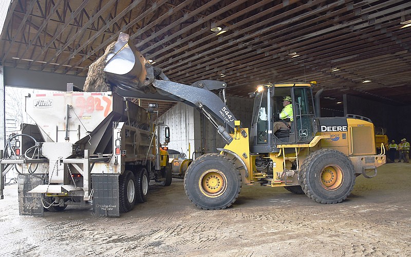
Benz said the county's Public Works Department was getting more road materials delivered Thursday afternoon to prepare for the next storm and beyond.
"When it gets into the single digits like they are predicting for the early part of next week, salt and other material just won't cut it," Benz said. "If it gets that low, we'll be using a mix of cinders and salt so that vehicles can get some traction."
Smith said long-range forecasts show some snow predicted as late as the third week of March.
With that in mind, he said, the city's Public Works Department did an emergency procurement for salt and will ask the City Council for a supplemental appropriation of $130,000 for more salt during Monday's council meeting.
"We have to keep planning for the worst," Smith said.
"We couldn't have a better group of folks to run our trucks, do repairs and keep our sidewalks and airport open," he added. "There's over 50 people involved, and they all have to do their jobs to make it all work."
See also: