
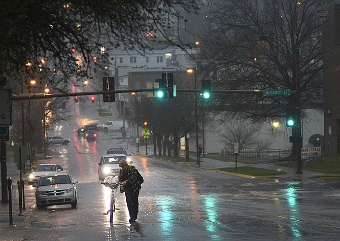
Sirens sounded in parts of Mid-Missouri shortly before 6 p.m. as the National Weather Service issued tornado warnings in various counties which have since expired.
The early evening severe thunderstorm moved across southeastern Cole County, Osage County and into Gasconade County. Those warnings expired by 6:30 p.m.
A preliminary storm report indicated the Missouri Highway Patrol had confirmed a tornado spotted at Rich Fountain at 6:02 p.m. At about the same time, a trained weather spotter indicated seeing a wall cloud five miles west of Linn.
Two-way radio transmissions on Osage County public safety channels indicate trees and power lines down in some areas, including reports of multiple trees down at Meta.
A trained weather spotter reported a funnel cloud at St. Thomas around 5:45 p.m. Trees were reported down in southern Cole County from that storm.
A later tornado warning issued for eastern Maries County expired at 7:30 p.m.
The possibility for flash flooding continued in parts of Mid-Missouri until early Friday morning's end of heavy rainfall.
Check the links below for updated weather details.
Additional information:
Current severe weather and flood watches and warnings