
The bicentennial edition of the Official Missouri Highway Map is now available and Missouri Department of Transportation officials said there is a high demand for the printed maps.
"More than a million people have requested or picked up a printed Missouri highway map over the past two years," said Eric Curtit, MoDOT's director of transportation planning.
"We print 1.3 million maps every two years. While many travelers rely on their smartphones or other GPS systems to get around, a lot of people don't have these options," he said.
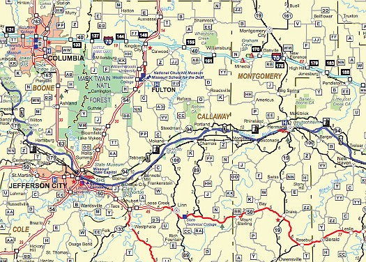
The bicentennial edition souvenir map features a brief history of travel in Missouri, beginning before the state was ratified Aug. 10, 1821, through frontier days and into the state's modern era with 33,830 miles of state-maintained routes, 4,800 miles of railroad tracks, 1,380 miles of interstate highways, 125 public-use airports and 15 public ports.
There are more than 4,000 highway shields and 1,500 towns shown on the front of the map. More than 60 separate features are shown.
To order a state map, call 1-888-ASK-MODOT (275-6636) or request a map at modot.org/official-state-highway-map.