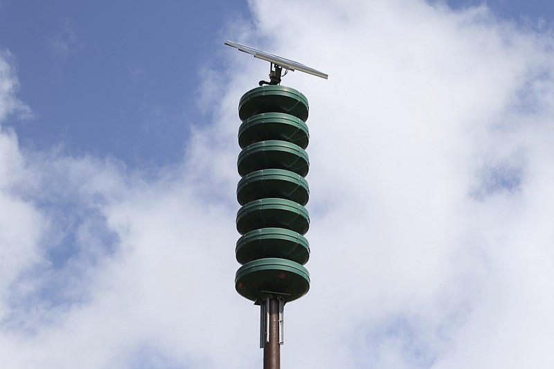
The National Weather Service has made a change in storm classifications that will affect how outdoor warning sirens are activated.
This week, the NWS, looking to better convey the severity and potential impacts from thunderstorm winds and hail, added a "damage threat" tag to severe thunderstorm warnings, similar to tornado and flash flood warnings.
With this change, the Jefferson City Police Department Communications Center will now activate the Cole County and Jefferson City outdoor warning sirens when the NWS issues a severe thunderstorm warning with a "destructive" classification.
The NWS developed three categories of damage threat for severe thunderstorm warnings. The categories, in order of highest to lowest damage threat, are destructive, considerable and base, with the following criteria:
- A "destructive" damage threat includes at least 2.75-inch diameter (baseball-sized) hail and/or 80 mph thunderstorm winds. Warnings with this tag will trigger the activation of the local outdoor warning sirens.
- A "considerable" damage threat includes at least 1.75-inch diameter (golf ball-sized) hail and/or 70 mph thunderstorm winds. This will not activate the sirens.
- A baseline or "base" severe thunderstorm warning remains unchanged, with 1 inch (quarter-sized) hail and/or 58 mph thunderstorm winds. This will not activate the sirens.
According to the NWS, on average, only 10 percent of all severe thunderstorms reach the destructive category each year, nationwide.
Most of these storms are damaging wind events and some of the larger, more intense thunderstorms, called "supercell" storms, that can typically produce large hail in their path.
NWS officials said the new destructive thunderstorm category conveys to the public urgent action is needed, a life-threatening event is occurring and may cause substantial damage to property.

