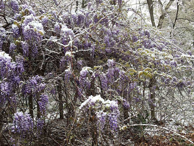
The late April appearance of snow melted almost as quickly as it fell Tuesday.
Meteorologist Jared Maples with the National Weather Service in St. Louis said accumulating snow is less common at this time of year, but it has had trace amounts reported later than April 20.
"We define an accumulating snow as 0.1 inch or more," Maples said. "Tuesday, we tied the latest date for an accumulating snow in Columbia (where the Columbia Regional Airport is the main reporting site for NWS in Central Missouri). The first time this occurred was in 1904 when we had eight-tenths of an inch of snow reported."
Maples said it has 1.3 inches of snow was reported Tuesday at the airport in Columbia, while in Loose Creek in Osage County, an observer reported 2 inches had fallen on elevated surfaces.
"Most of the reports we got in Central Missouri were for a half-inch to 1 inch of snow," Maples said. "It accumulated on the grass and cars. The pavement was warm enough that it didn't accumulate on roads."
Other than some accidents being reported in the area, no other problems were reported during the rare snowfall in Central Missouri.
Local public works departments reported they did have some of their staff check to make sure elevated surfaces such as bridges didn't get slick, but no problems were reported.
After another round of below-normal temperatures Tuesday night, Maples said, a gradual warmup would bring temperatures back to more normal ranges for this time of year.
"We've got a chance for rain on Friday, but by Sunday, we could be near 70 again," Maples said.
Maples also said precipitation is above normal for this time of the year. Since March 1, 8.83 inches of rain have fallen at Columbia Regional Airport. The normal amount is 5.54 inches, he said.

