
The levees in the Capitol View Levee District need to be improved, local farmers and Jefferson City's public works director told the state's Department of Natural Resources in a meeting Thursday about flooding in Cole and Callaway counties.
DNR hosted the meeting as part of a series of four - the other three focused on other counties - to gather public feedback about "recurrent problem areas, impacts and potential solutions" when it comes to flooding along the Missouri River, according to a previous news release from the department.
The meeting Thursday was not only about the Capitol View Levee District - DNR also collected feedback on local areas including the Cole Junction, Renz and Reveaux levee districts - but it's behind the Capitol View's protective barriers where much of the infrastructure is located that was affected by 2019's flooding, including the city's airport and water treatment plant.
Matt Morasch, director of Jefferson City's Public Works department, told DNR officials in the virtual meeting including Deputy Director Dru Buntin that there are three priority interests when it comes to the Capitol View levees:
- Close gaps in wing dikes where there's been a lot of erosion that has threatened infrastructure such as sewer and power lines;
- Raise the levees' height from the current 30 feet of protection to 34 feet;
- Have some funds available for buying out properties along the Missouri River's tributaries on the south bank.
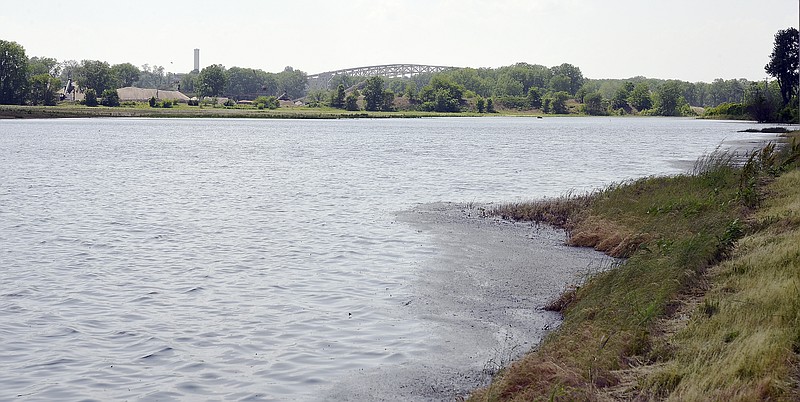
Wing dikes, or notched dikes, are structures placed in a river to manage sediment and maintain the depth of the main channel.
Jay Fischer, of Fischer Farms in North Jefferson City, agreed "bank stabilization needs to be a key priority."
Fischer said dike notches have put pressure on the levees, and closing in some of the dikes would allow for silt to build up - restoring ground and vegetation to strengthen the levees.
He said since 1993, he's lost 27 acres of land on his property due to dike notches.
Jose Cruz, president of the Wainwright Levee District, added bank stabilization is important, but levees could also be improved by widening the tops and broadening the slopes, starting from upstream.
The Capitol View district's levees overtopped or breached in seven places last year, compared to two locations each for the Renz and Reveaux districts.
The Cole Junction district's levees held but suffered damage.
Cole Junction had 23 overtoppings or breaches in the flooding of 1993 - the most among the four districts - but also held in 1995 and 2013.
All four districts' levees held in 2013, but the Capitol View, Renz and Reveaux districts all had overtoppings or breaches in 1993 and 1995, more severe in quantity than last year's.
The public feedback meetings on flooding issues including Thursday's were prompted by an interstate agreement among the governors of Missouri, Kansas, Iowa and Nebraska with the U.S. Army Corps of Engineers.
Gov. Mike Parson joined the other governors in November 2019 into the agreement, following devastating flooding along the Missouri River earlier in the year, to begin to take steps that could lead to enhanced flood protection along the river's lower basin.
Last year's flooding in Missouri overtopped or breached more than 100 levees, inundated 1.2 million acres of farmland and closed hundreds of roads.
In addition to gathering feedback from the public, the agreement between the states and Army Corps of Engineers has the goals of analyzing vulnerable spots along the river, assessing options for better protection, and doing initial assessment of changes to the river's flow and stream profile that could lead to more analysis.
"The four states and the Corps are already considering a more far-reaching agreement that will allow further discussion, assessment and action to increase protection in the Lower Missouri Basin," according to DNR.
Buntin told listeners Thursday there will be further discussions in the future, and DNR wants to see some local areas in-person.
Once available, recordings of the public feedback meetings including Thursday's will be available at dnr.mo.gov/floodrecovery/pas.htm.
The department is also encouraging people to provide feedback about other areas along the Missouri River beyond the areas the meetings focused on. Those comments can be sent to [email protected].