
The National Weather Service has issued a Flash Flood Watch through late Sunday night for portions of Mid-Missouri.
The watch area includes Boone, Callaway, Camden, Cole, Maries, Miller, Moniteau, Morgan and Osage counties, and the cities of California, Columbia, Eldon, Jefferson City, Linn, Osage Beach, Fulton and Versailles.
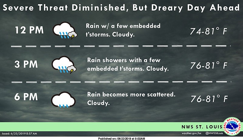
Multiple rounds of heavy rain producing thunderstorms are expected through this evening. Several inches of rainfall in localized areas will be possible with each thunderstorm round. In addition, these thunderstorms will be dropping heavy rain on some areas that already have a saturated ground due to recent heavy rainfall.
Heavy rainfall will result in flooding of low lying or poor drainage areas, and ultimately dangerous flash flooding on smaller creeks and streams. Significant rises on larger streams and rivers will also be possible.
A Flash Flood Watch is advanced notice that conditions are favorable that may lead to flash flooding. People in the Watch area, especially in flood prone areas, should use this time to make preparations just in case. Stay informed, and be ready for quick action if flooding is observed or if a Flash Flood Warning is issued.
Additional weather resources: