
To provide recommendations to local municipalities regarding potential transportation improvements, the Capital Area Metropolitan Planning Area is in the process of updating its long-range transportation plan.
CAMPO provides transportation planning for the metropolitan planning area encompassing Jefferson City, Holts Summit, Taos, Wardsville and St. Martins, along with portions of Cole and Callaway counties.
The 2045 Metropolitan Transportation Plan analyzes CAMPO's regional transportation needs over the next 25 years and provides recommended goals and projects for the municipalities. The federally required plan looks at all modes of transportation, including roads, bridges, pedestrian walkways, air, railroad, waterways and freight.
The MTP has previously suggested various projects like the roundabout at Stadium Boulevard and Jefferson Street, the Lafayette Street interchange, and the pedestrian bridge over the Missouri River bridge.
One project identified as a future priority in the plan is extending the far right lane on U.S. 54 between the West Main Street bridge and Cedar City Drive to the U.S. 54/63 intersection to go to Columbia.
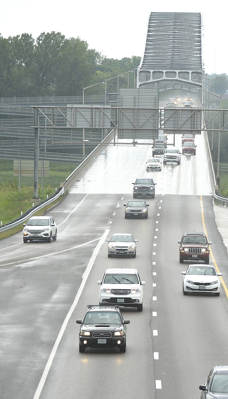
Another identified project is looking at ways to improve the tri-level at the intersection of U.S. 50 and U.S. 54 within the next 25 years, as "it's a bottleneck into the community," said Sonny Sanders, director of the Jefferson City Planning and Protective Services Department.
CAMPO hired consultant HDR Inc. to help look at various factors for suggested projects and goals, including safety, capacity, congestion and land use. As the organization researches these factors, it updates the plan every five years so it can continue suggesting solutions to current needs.
"A lot of things shift and change over time, and while you can't really forecast what's going to happen 20 years from now, it's important to have some guidelines as to what the goals are that you would lie to reach every time," transportation planner Katrina Williams said. "You're required every five years to update that because things change, especially with the rate technology changing, it changes a lot when you come back five years later."
CAMPO will also create scenarios based on trends it and the consultant witness to help guide future suggested projects.
CAMPO will seek public engagement beginning in October for the transportation plan, which will include surveys, a new website, stakeholder meetings and open house forums. The open houses are tentatively scheduled for Oct. 10 in Jefferson City and Oct. 16 in Holts Summit.
"We don't want to plan in a vacuum and this is going to impact our entire region," Williams said. "We have a large region - about 75,000 people who live in our region - so we want to make sure people have access to our planning process and giving input on what goes on in their community."
The organization plans to share more information about the meeting dates later this month.
CAMPO does not implement the suggested projects outlined in the plan, as it is a planning body only.
"Ideally, what our plan ends up developing (into) is recommendations will end up filtering down into the local governments that can use them and help them prioritize what (projects) to put into their capital improvement program," Sanders said.