
Residents of Sumner County, Kansas, received a dire warning last year as a tornado barreled through toward Wichita: Get underground or into a shelter - or else.
"Mass devastation is highly likely, making the area unrecognizable to survivors," the National Weather Service cautioned last April.
In an effort to get people to safety quickly, the National Weather Service said Friday that it will expand its retooled severe weather warning system in Kansas, Missouri and 12 more Midwestern states.
Starting Monday, it will provide media outlets and emergency services with more detail about the strength of a brewing tornado or thunderstorm, what it may hit and when. The system will also detail possible hazards and impacts of any potential tornado based on radar data, and more information on less severe but still "considerable" storms.
Mike Hudson, an NWS meteorologist in Kansas City, Mo., said alerts with words such as "catastrophic" and "destruction" will likely be rare - once a year in Kansas and twice a decade in northern states like Minnesota. The words will be reserved for "those types of tornadoes that ultimately take lives, so we want to ring the bell a little bit louder," he said.
"When we use them, you ought to pay attention," he said.
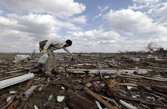
The weather service started its expanded warning pilot in Kansas and Missouri last year after researchers found that Joplin, Mo., residents didn't get a strong enough warning about the May 2011 tornado. It killed 161 people, injured hundreds more and destroyed thousands of homes and buildings.
"Nothing in that warning really stood out that said 'this is a lot higher risk' than a typical warning might be," Hudson said.
Just a handful of alerts were issued in the two-state region last year, Hudson said, but follow-up surveys found the heightened warnings improved response time, so the weather service decided to expand the pilot to the rest of the Midwest.
With that expansion, they will start including more information about when a tornado is expected to arrive.
In Minnesota, tornadoes are less frequent and generally less severe, so the updated system may be used more often for one or more severe thunderstorms. But Tony Zaleski, a meteorologist at the National Weather Service's office in Chanhassen, Minn., cautioned that residents should take cover in a basement, bathroom or closet during any tornado.
"Even though we are coming up with this system for the larger tornadoes, the public should still be aware that they should take extra steps when any tornado warning is actually issued," Zaleski said.
Additional states to see the new system include Wyoming, Colorado, North Dakota, South Dakota, Nebraska, Iowa, Minnesota, Wisconsin, Michigan, Illinois, Indiana and Kentucky.