
--
UPDATE: The Tornado Watch issued Saturday afternoon has been lifted for Mid-Missouri. It is no longer in effect, as the risk of severe storms has moved into northern Illinois.
--
POSTED EARLIER:
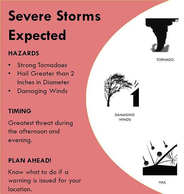
Severe thunderstorms are expected across parts of Mid-Missouri this afternoon and evening.
The severe thunderstorms will be capable of producing strong tornadoes, hail in excess of two inches in diameter and damaging winds.
The National Weather Service has issued a Tornado Watch in effect from now until 9 p.m. in an area of central and northeast Missouri that includes Boone, Callaway, Cole, Cooper and Moniteau counties, as well as the cities of California, Columbia, Fulton and Jefferson City.
A Tornado Watch is an alert issued when weather conditions are favorable during the given time period for the development of severe thunderstorms that are capable of producing tornadoes in and close to the watch area.
Weather resources:
Mid-Missouri weather advisories via Twitter