
In an effort to bring recognition to the geographic information systems that contribute more to our lives than we may know, Jefferson City and Cole County are partnering to host a GIS Day Open House event.
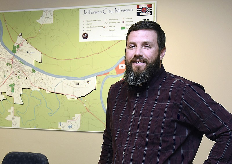
Nov. 13 is GIS Day, a globally recognized day to celebrate the work of geographic information system professionals and educate the public on what geographic information systems are and what they do, said Buster Schrage, GIS manager for Jefferson City.
"It's focused on GIS professionals and geospatial technologies, just kind of bringing it to the forefront for everybody to focus on all the data and applications that use GIS data on a daily basis," Schrage said.
GIS Day is promoted and organized by Esri, a popular software program for GIS.
A geographic information system integrates different types of data into a system rooted in geography, which can be used to reveal insights into data like patterns, relationships and situations to help users, according to the Esri website.
Although they might not know it, people likely use GIS data in their every day lives or careers, Schrage said.
GIS data is used by many organizations for many purposes - from the 911 system to real estate to the State Emergency Management Agency. Locally, the website Mid-MO GIS allows residents to see interactive maps and other data, Cole County GIS manager Melissa Johnson said.
"I can't even think of an office that doesn't use GIS in some way, whether it be to look up information about a property or try and see what fire district or zoning boundaries are," Johnson said. "There's a lot of ways it can be used."
To share the multiple uses of GIS data, the city and county are hosting an open house on GIS Day. Guests will share how they use GIS, including the University of Missouri; Lincoln University; the National Guard; Jefferson City Public Works; and other city, county and state agencies.
The event will also feature how GIS data was used following the 2019 flooding and May 22 tornado, Johnson said. SEMA was able to get image data of the areas the Friday following the tornado and create 3-D models and large maps of the damage, which will be on display.
"It'll be really nice to show off what we've compiled and all the assistance that we did during the flood and tornado that a lot of people didn't really see," Schrage said.
Children from local schools were also invited to the open house, in the hopes of spreading the knowledge to the younger generation.
"We want to try to get our young people interested in pursuing a career in GIS or using it in another career," Johnson said. "A lot of people use GIS in their jobs."
Overall, they hope the event can spread awareness about what GIS is and all the services the data and those who work with it provide. One example Schrage mentioned was a system that was created to map the locations of business licenses, which can help the fire department to conduct fire inspections.
"We're kind of connecting dots that previously weren't connected," Schrage said.
The GIS Day Open House event is scheduled 10 a.m.-2 p.m. Wednesday in the Jefferson City Police Department building at 401 Monroe St., in the police classroom.