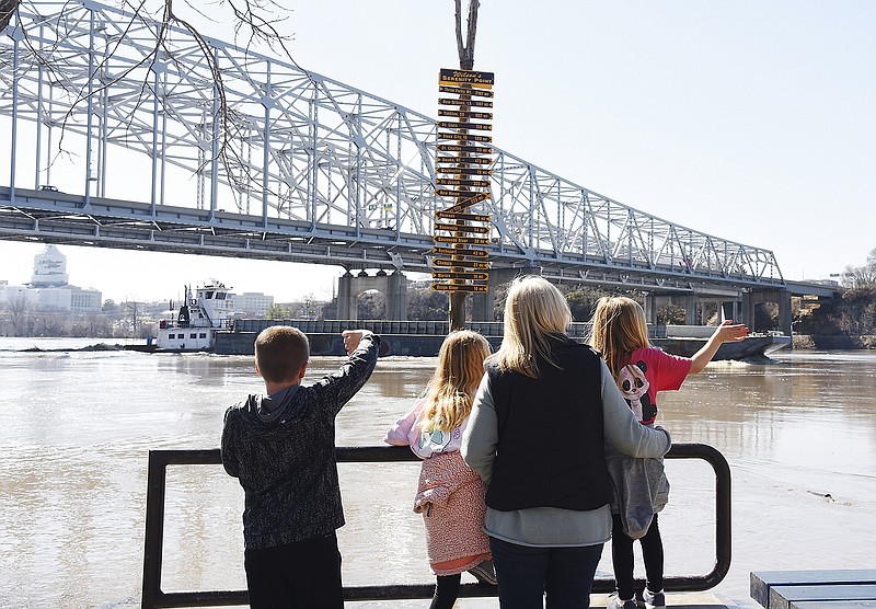
A combination of a lack of snow on the ground and not as much water in area tributaries has been a blessing for Central Missouri, as northern Missouri faces major flooding.
As the Missouri River goes south, heading through Nebraska and Kansas and continuing east, it takes on water from other tributaries like the Kansas, Grand and Osage rivers, said Mark Fuchs, senior hydrologist with the National Weather Service in St. Louis.
"As the Missouri takes on these tributaries, its capacity becomes bigger," Fuchs said. "So the flow required to reach flood stage at St. Joseph is less than what is required to reach flood stage at Jefferson City. That leads to the flood impact being greater there than in Mid-Missouri."
Fuchs said Mid-Missouri is catching a break because the rivers here that go into the Missouri River, such as the Moreau and Maries rivers, don't have the flow that the rivers up north have.
"They are way below the level we saw the Platte River in northern Missouri was at," Fuchs said. "There were huge inflows at Omaha and St. Joseph. Beyond St. Joseph, it really comes down. We have flooding in Central Missouri, but not to the extent as between Omaha and northwest Missouri."
Over this past weekend, the Osage River near St. Thomas reached 12 feet - while the Platte River near Platte City was at 24 feet.
While a lot of rain fell in Nebraska, Iowa and northern Missouri, what really caused the flooding was the large amount of snow that was still on the ground in those areas, Fuchs said.
"Yes, 3-4 inches of rain will produce some flooding, but what they had was rain falling on snow and ice all across Nebraska," he said. "There was the equivalent of 2 inches of liquid sitting on top of those fields that disappeared with the warm rain. Add 3-4 inches of rain to the snowpack, and it's just waiting to get loose and it had nowhere to go."
With the large increase in moisture, the U.S. Army Corps of Engineers began to release more water from the Gavins Point Dam in South Dakota, the southern-most dam at the northern end of the Missouri. This was also a factor in the flooding, with as much as 100,000 cubic feet per second of water going through the dam gates at times.
"The water was coming in so fast and filling up our reservoir that we had to increase the releases or risk losing the dam," said James Lowe, spokesman for the Corps of Engineers in Kansas City. "It's not a good option, but there wasn't much of a choice. The water has to go somewhere, and bringing the dam down was not a good solution."
For the immediate future locally, both Ameren Missouri, which owns of Bagnell Dam at the Lake of the Ozarks, and the Corps of Engineers, which operates Truman Dam at Warsaw, are working together to control levels at both lakes without adding to water flow on the Osage River, which could affect levels on the Missouri River.
"As of Thursday, our releases at Truman were at 3,000 cubic feet per second, and we'll keep them low until conditions make it where they can be increased," Lowe said. "We have significant amount of storage, but a localized, heavy rain may change that situation."
The Osage River near Bagnell and at Tuscumbia was at 5 feet as of Thursday afternoon.
Looking ahead into spring, Fuchs said significant flooding chances have decreased on the Missouri River.
"The 90-day outlook numbers don't have nearly the threat we had been seeing a few weeks ago because we've now lost most of the snow cover from up north," Fuchs said. "We're still looking at high stream flows and above-normal soil moisture, but snow is the deal breaker for a flood outlook. The flood potential over the next few months is there, but it would be due to heavy rainfall, not snowmelt, and the rains would have to be over concentrated areas."
As of Thursday afternoon, the Missouri River was at 24 feet in Jefferson City. The flood stage is 23 feet.
Most area rivers were well below flood stage Thursday. The Moreau River near Jefferson City was at 3 feet, the Osage River at St. Thomas was at 7 feet, and the Maries River at Westphalia was at 2 feet.
The Osage at the Mari-Osa Delta was at flood stage of 19 feet and expected to rise to 20 feet by Tuesday.
The NWS forecasts the Missouri River in Jefferson City will rise again to 26 feet Monday then start to fall Wednesday, going below flood stage next Thursday.

